Earthquake information
- Epicenter
- Epicenter
- Seismic intensity
-
- 1
- 2
- 3
- 4
- 5-
- 5+
- 6-
- 6+
- 7
- Epicenter
- Epicenter
- Seismic intensity
-
- 1
- 2
- 3
- 4
- 5-
- 5+
- 6-
- 6+
- 7
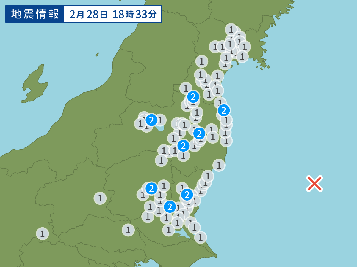
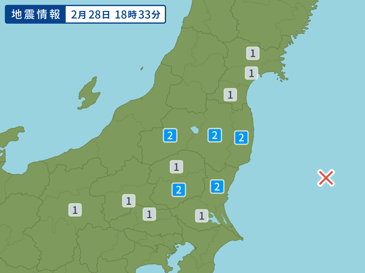
Occurred at 02/28/2004 18:33 JST
-
- Occurred at
- 02/28/2004 18:33
-
- Epicenter region
- Off the Coast of Fukushima Prefecture
-
- Maximum seismic intensity
- 2
-
- Magnitude
- 4.7
-
- Depth
- Very shallow
-
- Latitude/Longitude
- 36.7N142.2E
Seismic intensity in each area
Seismic intensity/Region where observed
| 2 |
|
|---|---|
| 1 |
|
02/28 18:33
Issued by the Japan Meteorological Agency (JMA)
Earthquake history
-
- Occurred at
- 04/30/2024 01:14
- Epicenter region
- Hida, Gifu Prefecture
- Maximum seismic intensity
- 3
- Magnitude
- 3.7
-
- Occurred at
- 04/30/2024 00:08
- Epicenter region
- Noto, Ishikawa Prefecture
- Maximum seismic intensity
- 2
- Magnitude
- 3.2
-
- Occurred at
- 04/29/2024 21:24
- Epicenter region
- Southern Nagano Prefecture
- Maximum seismic intensity
- 1
- Magnitude
- 2.2
-
- Occurred at
- 04/29/2024 20:10
- Epicenter region
- Plain Area of Northern Miyazaki Prefecture
- Maximum seismic intensity
- 1
- Magnitude
- 2.5
-
- Occurred at
- 04/29/2024 12:54
- Epicenter region
- Central Hidaka Region, Hokkaido
- Maximum seismic intensity
- 1
- Magnitude
- 2.9