Earthquake information
- Epicenter
- Epicenter
- Seismic intensity
-
- 1
- 2
- 3
- 4
- 5-
- 5+
- 6-
- 6+
- 7
- Epicenter
- Epicenter
- Seismic intensity
-
- 1
- 2
- 3
- 4
- 5-
- 5+
- 6-
- 6+
- 7
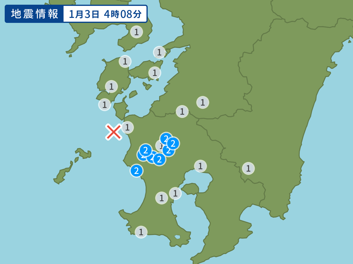
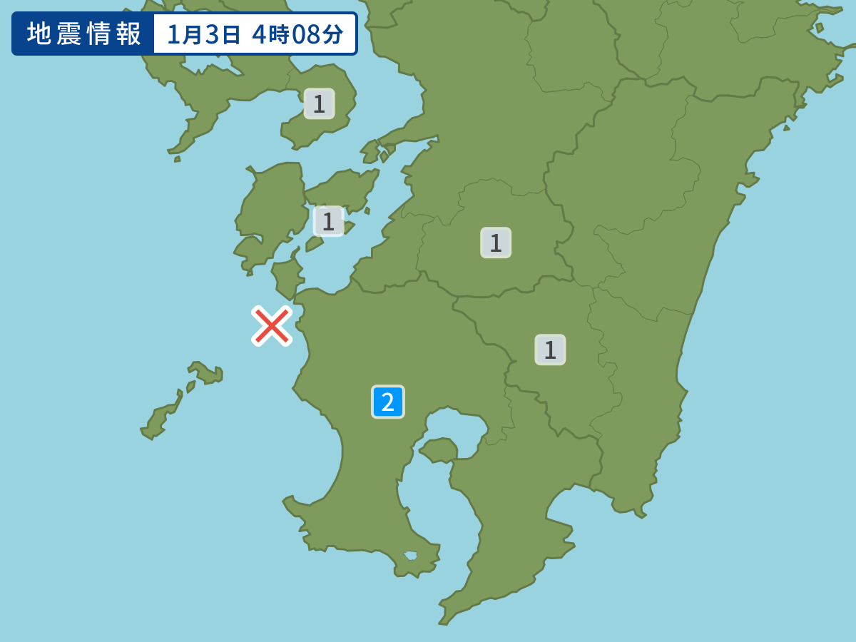
Occurred at 01/03/2005 04:08 JST
-
- Occurred at
- 01/03/2005 04:08
-
- Epicenter region
- Amakusanada Sea
-
- Maximum seismic intensity
- 2
-
- Magnitude
- 3.8
-
- Depth
- 9km
-
- Latitude/Longitude
- 32.0N130.1E
Seismic intensity in each area
Seismic intensity/Region where observed
| 2 |
|
|---|---|
| 1 |
|
01/03 04:08
Issued by the Japan Meteorological Agency (JMA)
Earthquake history
-
- Occurred at
- 05/12/2024 14:34
- Epicenter region
- Bungosuido Strait
- Maximum seismic intensity
- 1
- Magnitude
- 3.3
-
- Occurred at
- 05/12/2024 12:03
- Epicenter region
- Hamadori, Fukushima Prefecture
- Maximum seismic intensity
- 1
- Magnitude
- 3.6
-
- Occurred at
- 05/12/2024 12:03
- Epicenter region
- Eastern Region · Fuji Five Lakes, Yamanashi Prefecture
- Maximum seismic intensity
- 1
- Magnitude
- 2.4
-
- Occurred at
- 05/12/2024 07:19
- Epicenter region
- Area along Mountains of Southern Miyazaki Prefecture
- Maximum seismic intensity
- 1
- Magnitude
- 2.4
-
- Occurred at
- 05/12/2024 07:00
- Epicenter region
- Noto, Ishikawa Prefecture
- Maximum seismic intensity
- 2
- Magnitude
- 3.4