Earthquake information
- Epicenter
- Epicenter
- Seismic intensity
-
- 1
- 2
- 3
- 4
- 5-
- 5+
- 6-
- 6+
- 7
- Epicenter
- Epicenter
- Seismic intensity
-
- 1
- 2
- 3
- 4
- 5-
- 5+
- 6-
- 6+
- 7
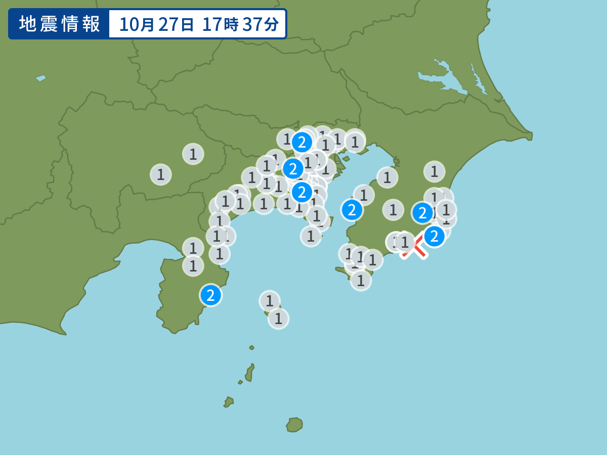
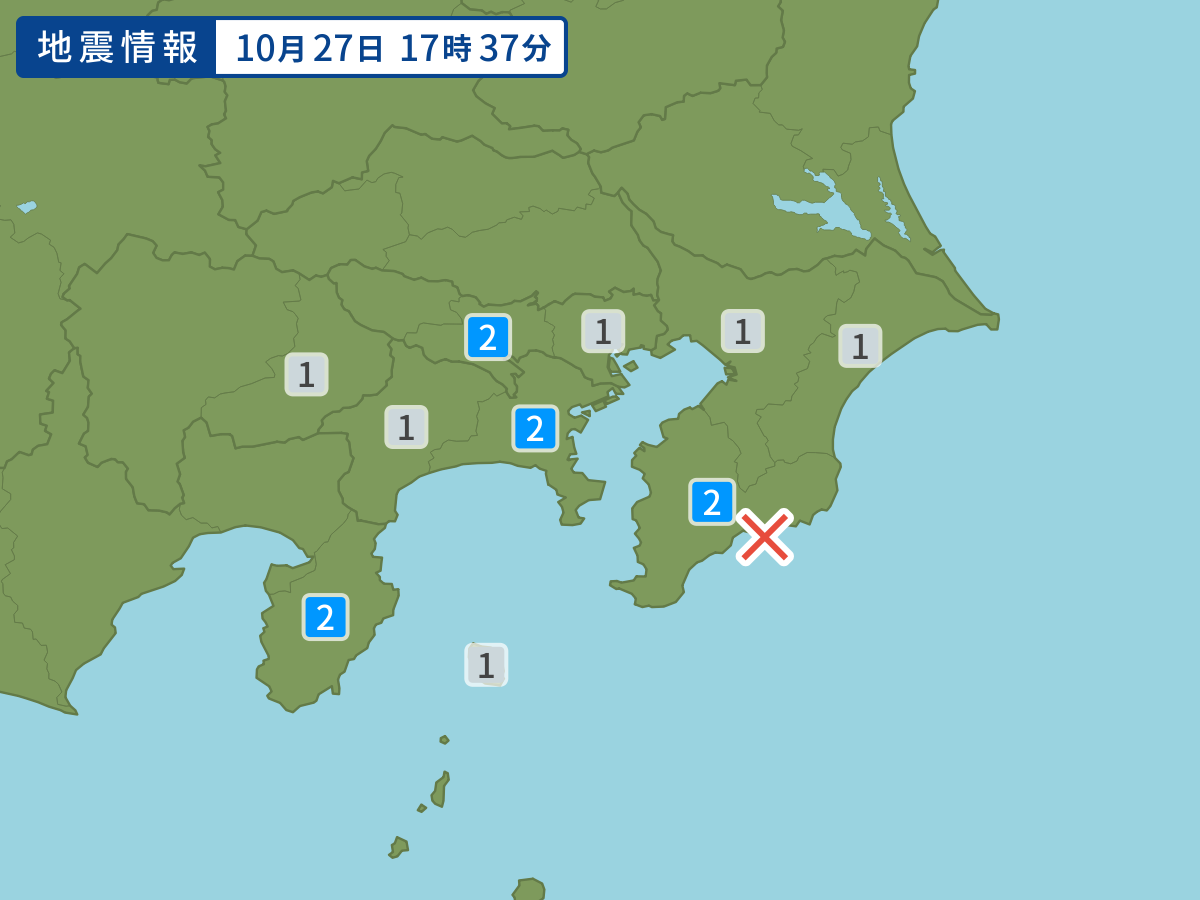
Occurred at 10/27/2006 17:37 JST
-
- Occurred at
- 10/27/2006 17:37
-
- Epicenter region
- Off the southeast Coast of Chiba Prefecture
-
- Maximum seismic intensity
- 2
-
- Magnitude
- 4.1
-
- Depth
- 61km
-
- Latitude/Longitude
- 35.1N140.2E
Seismic intensity in each area
Seismic intensity/Region where observed
| 2 |
|
|---|---|
| 1 |
|
10/27 17:37
Issued by the Japan Meteorological Agency (JMA)
Earthquake history
-
- Occurred at
- 04/29/2024 12:54
- Epicenter region
- Central Hidaka Region, Hokkaido
- Maximum seismic intensity
- 1
- Magnitude
- 2.9
-
- Occurred at
- 04/29/2024 11:18
- Epicenter region
- Bungosuido Strait
- Maximum seismic intensity
- 1
- Magnitude
- 2.7
-
- Occurred at
- 04/29/2024 06:28
- Epicenter region
- Bungosuido Strait
- Maximum seismic intensity
- 1
- Magnitude
- 2.9
-
- Occurred at
- 04/29/2024 06:09
- Epicenter region
- Bungosuido Strait
- Maximum seismic intensity
- 2
- Magnitude
- 3.9
-
- Occurred at
- 04/29/2024 05:47
- Epicenter region
- Bungosuido Strait
- Maximum seismic intensity
- 2
- Magnitude
- 3.4