Earthquake information
- Epicenter
- Epicenter
- Seismic intensity
-
- 1
- 2
- 3
- 4
- 5-
- 5+
- 6-
- 6+
- 7
- Epicenter
- Epicenter
- Seismic intensity
-
- 1
- 2
- 3
- 4
- 5-
- 5+
- 6-
- 6+
- 7
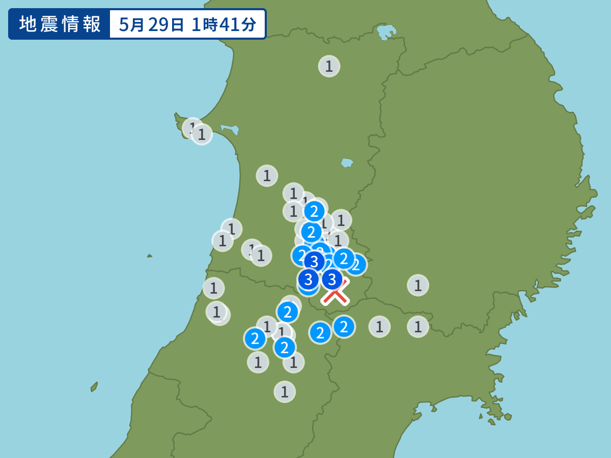
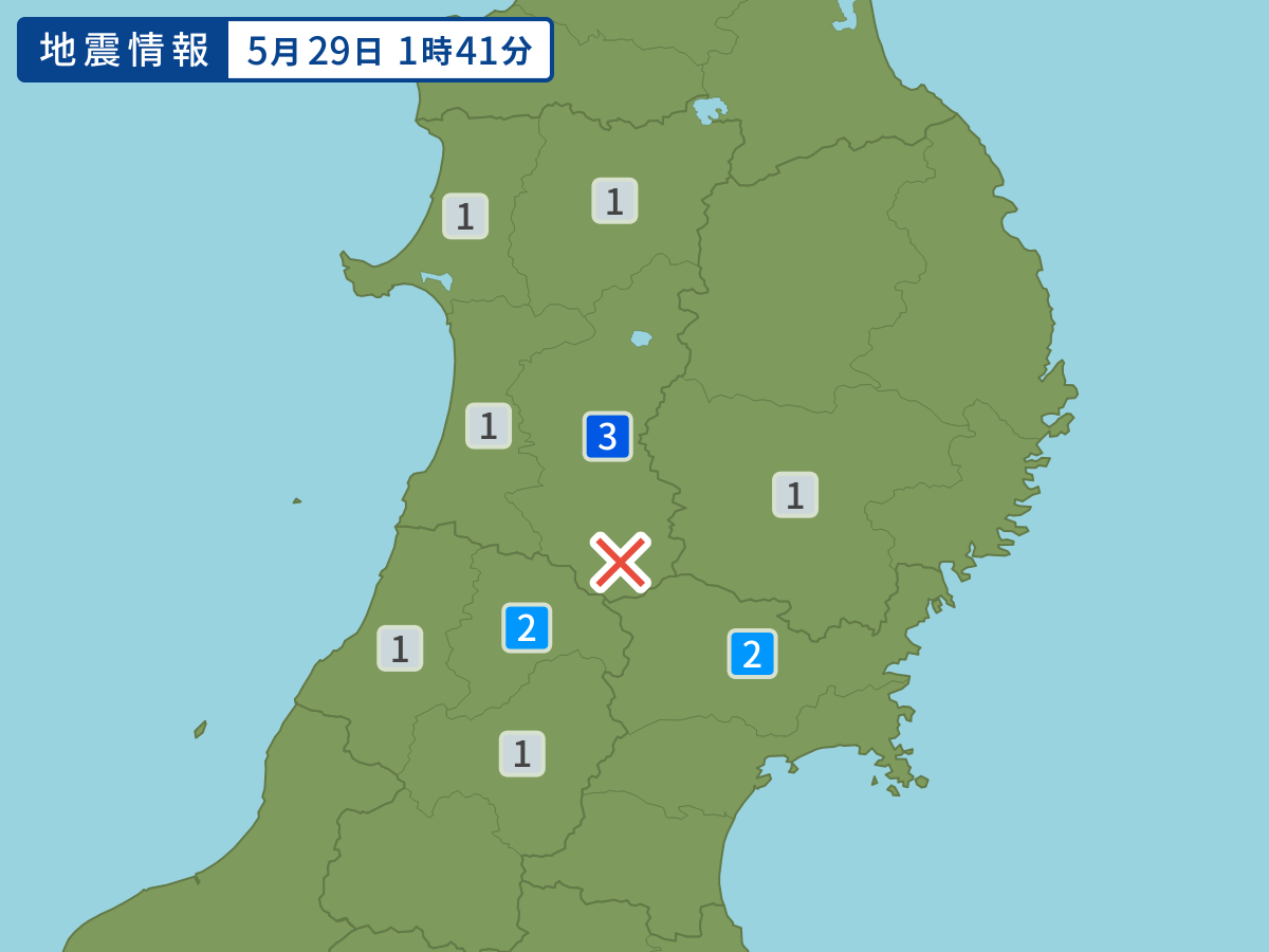
Occurred at 05/29/2008 01:41 JST
-
- Occurred at
- 05/29/2008 01:41
-
- Epicenter region
- Southern Inland of Akita Prefecture
-
- Maximum seismic intensity
- 3
-
- Magnitude
- 4.8
-
- Depth
- Very shallow
-
- Latitude/Longitude
- 39.0N140.6E
Seismic intensity in each area
Seismic intensity/Region where observed
| 3 |
|
|---|---|
| 2 |
|
| 1 |
|
05/29 01:41
Issued by the Japan Meteorological Agency (JMA)
Earthquake history
-
- Occurred at
- 05/02/2024 18:51
- Epicenter region
- Off the southeast Coast of the Nemuro Peninsula
- Maximum seismic intensity
- 1
- Magnitude
- 3.8
-
- Occurred at
- 05/02/2024 08:20
- Epicenter region
- Northern Yamaguchi Prefecture
- Maximum seismic intensity
- 3
- Magnitude
- 4.1
-
- Occurred at
- 05/02/2024 04:06
- Epicenter region
- Off the Coast of Miyagi Prefecture
- Maximum seismic intensity
- 1
- Magnitude
- 3.6
-
- Occurred at
- 05/02/2024 02:37
- Epicenter region
- Adjacent Sea of Tanegashima Island
- Maximum seismic intensity
- 2
- Magnitude
- 3.3
-
- Occurred at
- 05/02/2024 02:36
- Epicenter region
- Off the Coast of Fukushima Prefecture
- Maximum seismic intensity
- 1
- Magnitude
- 3.9