Earthquake information
- Epicenter
- Epicenter
- Seismic intensity
-
- 1
- 2
- 3
- 4
- 5-
- 5+
- 6-
- 6+
- 7
- Epicenter
- Epicenter
- Seismic intensity
-
- 1
- 2
- 3
- 4
- 5-
- 5+
- 6-
- 6+
- 7
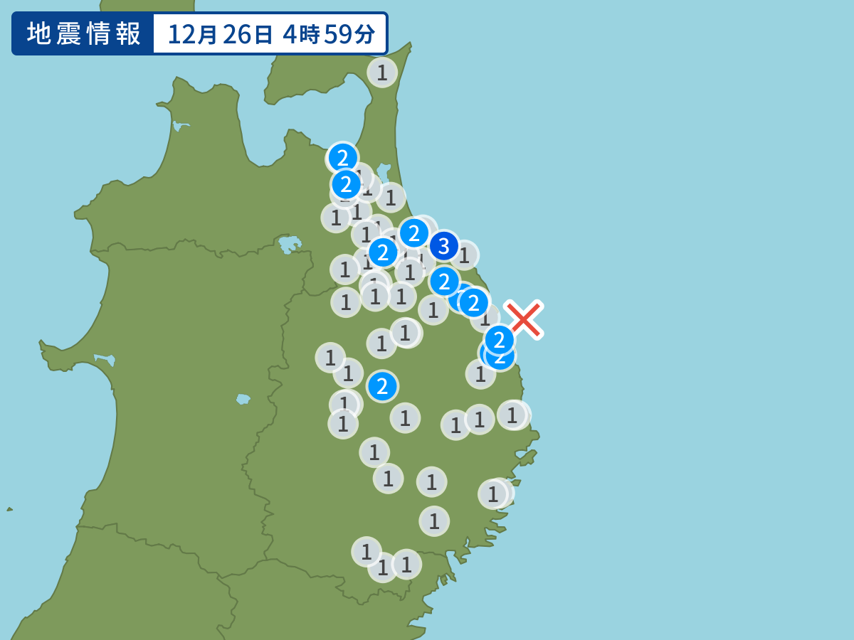
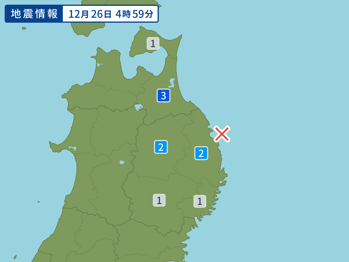
Occurred at 12/26/2012 04:59 JST
This earthquake poses no tsunami risk.
-
- Occurred at
- 12/26/2012 04:59
-
- Epicenter region
- Off the Coast of Iwate Prefecture
-
- Maximum seismic intensity
- 3
-
- Magnitude
- 4.2
-
- Depth
- 70km
-
- Latitude/Longitude
- 40.1N142.0E
Seismic intensity in each area
Seismic intensity/Region where observed
| 3 |
|
|---|---|
| 2 |
|
| 1 |
|
12/26 05:04
Issued by the Japan Meteorological Agency (JMA)
Earthquake history
-
- Occurred at
- 05/04/2024 14:14
- Epicenter region
- Adjacent Sea of Tokara Islands
- Maximum seismic intensity
- 2
- Magnitude
- 3.2
-
- Occurred at
- 05/04/2024 09:41
- Epicenter region
- Noto, Ishikawa Prefecture
- Maximum seismic intensity
- 1
- Magnitude
- 1.7
-
- Occurred at
- 05/04/2024 09:40
- Epicenter region
- Bungosuido Strait
- Maximum seismic intensity
- 3
- Magnitude
- 4.0
-
- Occurred at
- 05/04/2024 01:35
- Epicenter region
- Bungosuido Strait
- Maximum seismic intensity
- 1
- Magnitude
- 3.0
-
- Occurred at
- 05/03/2024 13:52
- Epicenter region
- Bungosuido Strait
- Maximum seismic intensity
- 2
- Magnitude
- 3.3